|
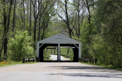
Trail 8 at Brown County State Park is through the remote ravines of the park. It is the longest marked trail in the park at 3.5 miles.
Trail 8 has a lot of character. When starting at Ogle Lake, hiking the trail in a clockwise direction, you begin with a steady uphill section for about half a mile. At the top of the first climb there is a trail junction with the Tulip Tree Shelter connector trail. This connector trail cuts about a mile off of the hike. Continuing on Trail 8 you descend into a very scenic valley that is frequented by deer. Climbing out of the valley is another steady uphill trek for about a half mile until you reach the top of a ridge. Along the top of the ridge the trail parallels one of the park roads for about a mile and a quarter with many short ups and downs. About half way along this section you pass the upper end of the connector trail mentioned earlier. When you reach Hesitation Point, a very popular vista, you will have hiked more than two thirds of the trail and will begin a short downhill trek. After a couple hundred yards of easy descent, you will come to a very long set of steps. This bears repeating. You come to a very long set of steps. This is why I hike this trail in the clockwise direction, to avoid climbing these steps.
From the bottom of the steps you finish your hike with a very easy and pleasant walk along side a stream.
The hike ends back at Ogle Lake.
You might want to extend your hike by walking counter-clockwise half way around the lake on Trail 7.
Take Trail 4 up to the Rally Campgrounds, cross the parking lot and take Trail 5 down to Ogle Hollow.
In the hollow connect back up to the lower section of Trail 4 and then around the north side of the lake on Trail 7 and back to the Ogle Lake parking lot.
A very nice hike adding two and one half miles to your walk.
|